


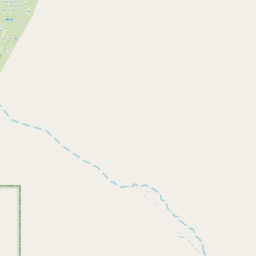

Leaflet | Data © OpenStreetMap contributors, Maps © OpenStreetMap contributors, CC-BY-SA, Imagery © Mapbox
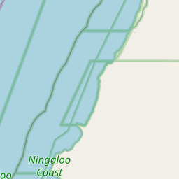
Gesamtstrecke: 143.43 km
Maximale Höhe: 29 m
Minimale Höhe: -8 m
Gesamtanstieg: 1019 m
Gesamtabstieg: -1009 m
Gesamtzeit: 15:46:13
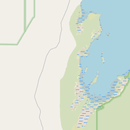
Maximale Höhe: 29 m
Minimale Höhe: -8 m
Gesamtanstieg: 1019 m
Gesamtabstieg: -1009 m
Gesamtzeit: 15:46:13
Es wir nicht der komplette Inhalt angezeigt. Bitte melde Dich an, so Du hier schon einen Account hast. Ansonsten, falls Du Giovanna oder Martin kennst, frage doch nach einem neuen Account.
")
")
")