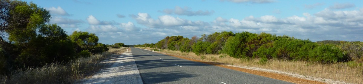
Day 11 – 27.04.2009: Cape Range NP – Exmouth – Ningaloo MP – Exmouth
…© OpenStreetMap contributors Gesamtstrecke: 171.97 km Maximale Höhe: 324 m Minimale Höhe: -13 m Gesamtanstieg: 2258 m Gesamtabstieg: -2246 m Gesamtzeit: 12:07:18…
Netzwelt, Reisen, Tauchen, amerikanische Nummernschilder und mehr
…© OpenStreetMap contributors Gesamtstrecke: 171.97 km Maximale Höhe: 324 m Minimale Höhe: -13 m Gesamtanstieg: 2258 m Gesamtabstieg: -2246 m Gesamtzeit: 12:07:18…
…© OpenStreetMap contributors Gesamtstrecke: 116.85 km Maximale Höhe: 97 m Minimale Höhe: -16 m Gesamtanstieg: 2432 m Gesamtabstieg: -2357 m Gesamtzeit: 10:40:07 Es wir nicht der komplette Inhalt angezeigt. Bitte melde Dich an, so Du hier schon einen Account hast. Ansonsten, falls Du Giovanna oder Martin kennst, frage doch nach einem neuen Account….
…© OpenStreetMap contributors Gesamtstrecke: 175.44 km Maximale Höhe: 377 m Minimale Höhe: 3 m Gesamtanstieg: 1886 m Gesamtabstieg: -1895 m Gesamtzeit: 08:28:29 Es wir nicht der komplette Inhalt angezeigt. Bitte melde Dich an, so Du hier schon einen Account hast. Ansonsten, falls Du Giovanna oder Martin kennst, frage doch nach einem neuen Account….
…© OpenStreetMap contributors Gesamtstrecke: 307.79 km Maximale Höhe: 92 m Minimale Höhe: 2 m Gesamtanstieg: 1767 m Gesamtabstieg: -1775 m Gesamtzeit: 08:08:57 Es wir nicht der komplette Inhalt angezeigt. Bitte melde Dich an, so Du hier schon einen Account hast. Ansonsten, falls Du Giovanna oder Martin kennst, frage doch nach einem neuen Account….
…© OpenStreetMap contributors Gesamtstrecke: 186.64 km Maximale Höhe: 137 m Minimale Höhe: -41 m Gesamtanstieg: 2439 m Gesamtabstieg: -2554 m Gesamtzeit: 21:41:44…
…© OpenStreetMap contributors Gesamtstrecke: 116.85 km Maximale Höhe: 97 m Minimale Höhe: -16 m Gesamtanstieg: 2432 m Gesamtabstieg: -2357 m Gesamtzeit: 10:40:07 Es wir nicht der komplette Inhalt angezeigt. Bitte melde Dich an, so Du hier schon einen Account hast. Ansonsten, falls Du Giovanna oder Martin kennst, frage doch nach einem neuen Account….
…© OpenStreetMap contributors Gesamtstrecke: 57.17 km Maximale Höhe: 66 m Minimale Höhe: 12 m Gesamtanstieg: 815 m Gesamtabstieg: -822 m Gesamtzeit: 16:55:29 Es wir nicht der komplette Inhalt angezeigt. Bitte melde Dich an, so Du hier schon einen Account hast. Ansonsten, falls Du Giovanna oder Martin kennst, frage doch nach einem neuen Account….
…unk #punkrock #rock #music #musik #prost #cheers #cheers🍻 #havefun #heiser #Konzert #concert #live #livekonzert #schleyerhalle #wasen #cannstatterwasen #openair #Stuttgart #yesterday #nofilter Erstellt in Hanns-Martin-Schleyer-Halle…