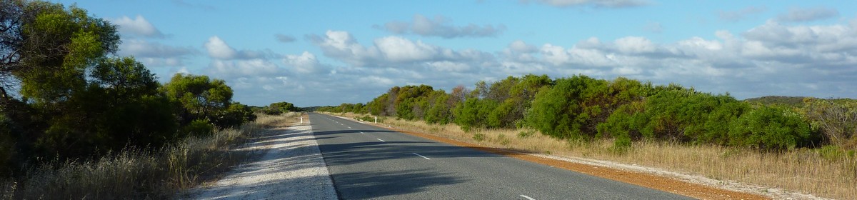
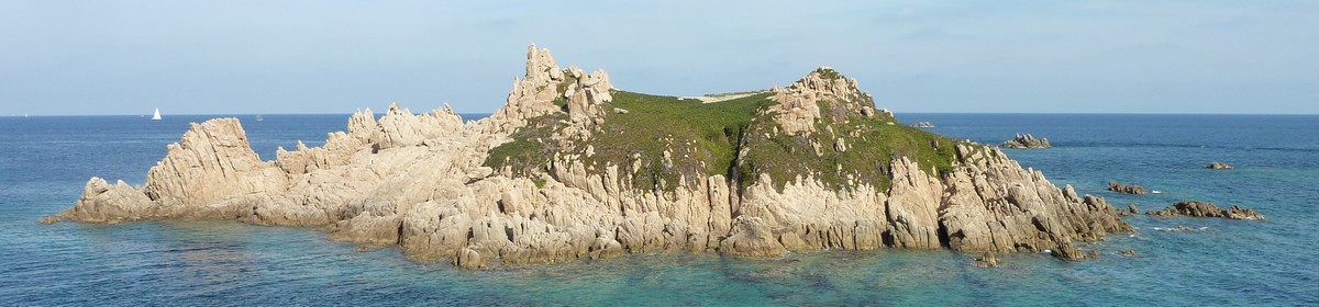
Day 35 – 12/13/2011: Cape Le Grand NP – Esperance
…© OpenStreetMap contributors Gesamtstrecke: 94.08 km Maximale Höhe: 96 m Minimale Höhe: -16 m Gesamtanstieg: 1629 m Gesamtabstieg: -1638 m Gesamtzeit: 10:56:23…
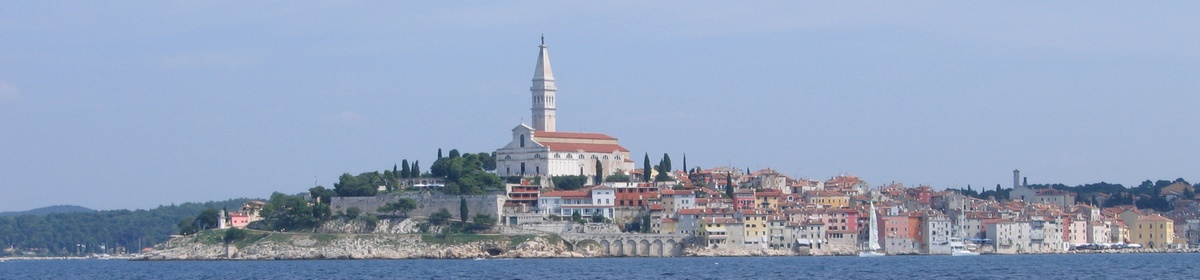
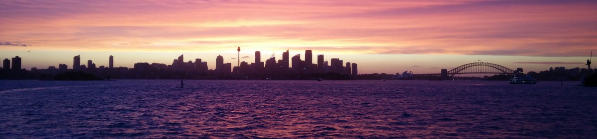
Netzwelt, Reisen, Tauchen, amerikanische Nummernschilder und mehr
…© OpenStreetMap contributors Gesamtstrecke: 94.08 km Maximale Höhe: 96 m Minimale Höhe: -16 m Gesamtanstieg: 1629 m Gesamtabstieg: -1638 m Gesamtzeit: 10:56:23…
…© OpenStreetMap contributors Gesamtstrecke: 75.87 km Maximale Höhe: 35 m Minimale Höhe: -39 m Gesamtanstieg: 934 m Gesamtabstieg: -952 m Gesamtzeit: 10:09:42 Es wir nicht der komplette Inhalt angezeigt. Bitte melde Dich an, so Du hier schon einen Account hast. Ansonsten, falls Du Giovanna oder Martin kennst, frage doch nach einem neuen Account….
…© OpenStreetMap contributors Gesamtstrecke: 241.86 km Maximale Höhe: 226 m Minimale Höhe: -6 m Gesamtanstieg: 3161 m Gesamtabstieg: -2959 m Gesamtzeit: 14:18:31 Es wir nicht der komplette Inhalt angezeigt. Bitte melde Dich an, so Du hier schon einen Account hast. Ansonsten, falls Du Giovanna oder Martin kennst, frage doch nach einem neuen Account….
…© OpenStreetMap contributors Gesamtstrecke: 52.63 km Maximale Höhe: 83 m Minimale Höhe: -11 m Gesamtanstieg: 2581 m Gesamtabstieg: -2558 m Gesamtzeit: 13:12:33 Es wir nicht der komplette Inhalt angezeigt. Bitte melde Dich an, so Du hier schon einen Account hast. Ansonsten, falls Du Giovanna oder Martin kennst, frage doch nach einem neuen Account….
…© OpenStreetMap contributors Gesamtstrecke: 77.84 km Maximale Höhe: 68 m Minimale Höhe: -14 m Gesamtanstieg: 1980 m Gesamtabstieg: -1945 m Gesamtzeit: 07:19:03 Es wir nicht der komplette Inhalt angezeigt. Bitte melde Dich an, so Du hier schon einen Account hast. Ansonsten, falls Du Giovanna oder Martin kennst, frage doch nach einem neuen Account….
…© OpenStreetMap contributors Gesamtstrecke: 78.61 km Maximale Höhe: 40 m Minimale Höhe: -93 m Gesamtanstieg: 3368 m Gesamtabstieg: -3360 m Gesamtzeit: 11:25:54 Es wir nicht der komplette Inhalt angezeigt. Bitte melde Dich an, so Du hier schon einen Account hast. Ansonsten, falls Du Giovanna oder Martin kennst, frage doch nach einem neuen Account….
…© OpenStreetMap contributors Gesamtstrecke: 200.11 km Maximale Höhe: 155 m Minimale Höhe: -26 m Gesamtanstieg: 4483 m Gesamtabstieg: -4516 m Gesamtzeit: 10:29:14 Es wir nicht der komplette Inhalt angezeigt. Bitte melde Dich an, so Du hier schon einen Account hast. Ansonsten, falls Du Giovanna oder Martin kennst, frage doch nach einem neuen Account….
…© OpenStreetMap contributors Gesamtstrecke: 91.68 km Maximale Höhe: 114 m Minimale Höhe: -7 m Gesamtanstieg: 1871 m Gesamtabstieg: -1893 m Gesamtzeit: 12:02:37 Es wir nicht der komplette Inhalt angezeigt. Bitte melde Dich an, so Du hier schon einen Account hast. Ansonsten, falls Du Giovanna oder Martin kennst, frage doch nach einem neuen Account….